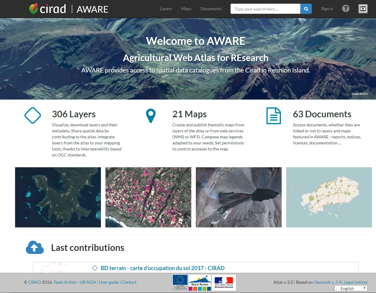
AWARE Agricultural Web Atlas for REsearch
A web atlas for Agriculture, Environment and Research in Topical Agronomy
contact : aware(at)cirad.fr
Why AWARE ?
In Reunion Island, CIRAD conducts researches on tropical agronomy in various areas such as crop protection,environmental risks, agriculture and integrated resource management and agricultural and food quality. For this purpose, CIRAD teams rely on various types of data (geographically referenced data, prodution data, climate data, ...) Their researches also produce results, in the form of geographically referenced databases, maps and images.
In order to improve the effectiveness of researches, share data, facilitate access to these data for its teams, have a better control on data dissemination and communicate its results from researches, CIRAD wanted to acquire a web platform bringing together all its geographic data.
Main functionalities
Cataloguing
AWARE allows to access easily catalogs of resources (layers, maps and documents) and to make accurate searches using filters such as categories, keywords, regions, extent,...

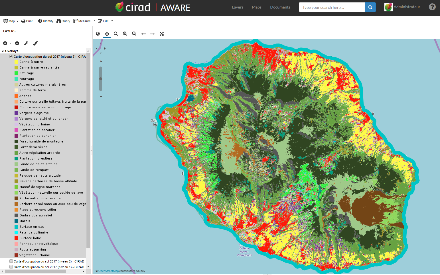
Creating maps
AWARE allows to create, customize and publish maps from existing layers without using any GIS software.
Data protection
Visualize, download or contribute safely, AWARE is designed to meet confidentiality and dissemination rights thanks to permissions on the resources and an accurate profile managment.
A tool...
Interoperable
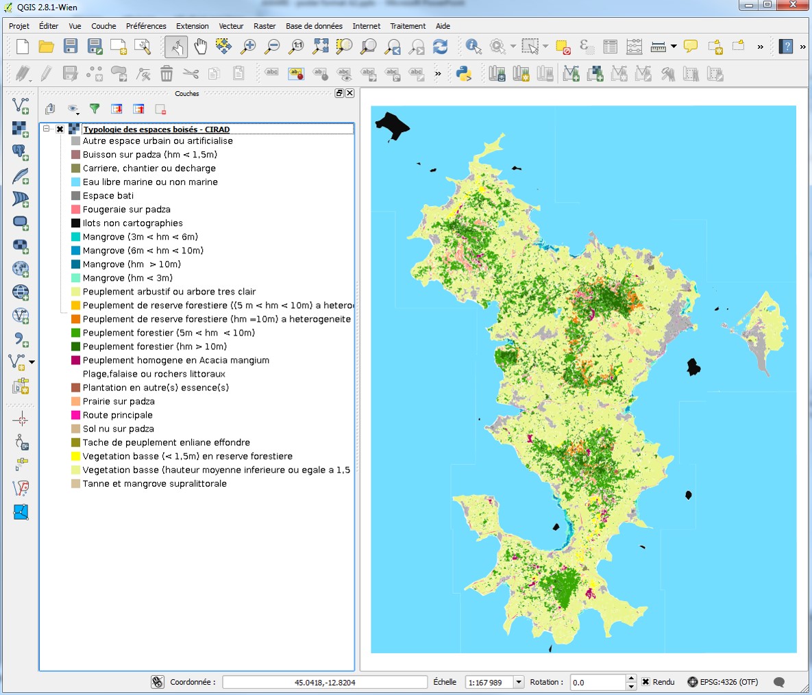
- From a GIS Software like QGIS, using layers of AWARE via Web Services (WMS, WCS, WFS and OWS).
- AWARE can harvest and be harvested by other remote geographic platforms.
- Compliance of the INSPIRE directive.
Based on open sources and license-free technologies
- Adapted to South countries thanks to license-free technologies.
- Implementation of the Spatial Data Infrastructure (SDI) GeoNode.
- Specific functionalities developed by CIRAD sent to GeoNode community and integrated into the Master Branch.

Transferable
- to a wide audience : partners, funders, agriculture professional, teachers, researchers…to make their own atlases.
- deployment support and possible training.